Rider
The everyday check: is it on, and when.
- Hourly wind, gust and direction per spot
- Favourite spot list
- Interactive wind map
Spain — Atlantic, Mediterranean and the islands
Wind speed, direction and gusts for every spot on the Spanish coast, hour by hour — so you know before you load the van.
Screens, spots and the ten seconds before the decision to rig.
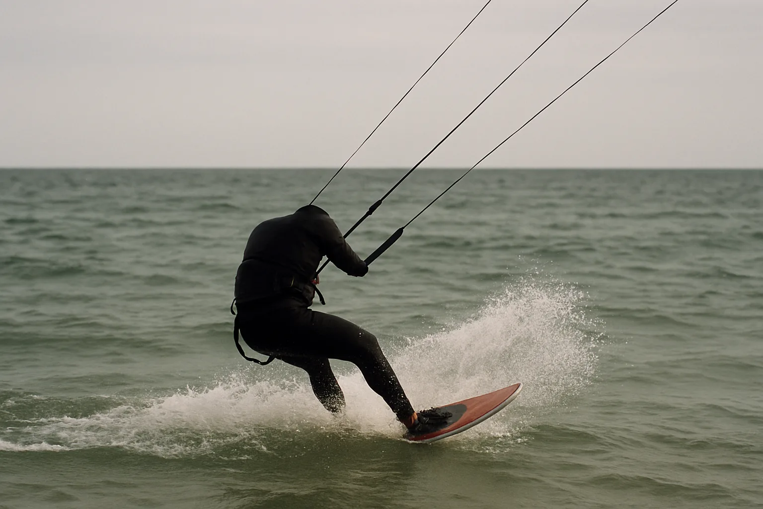
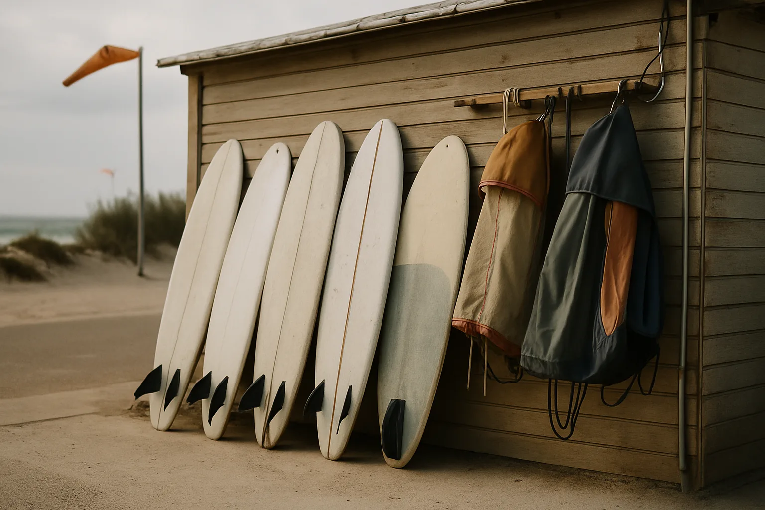
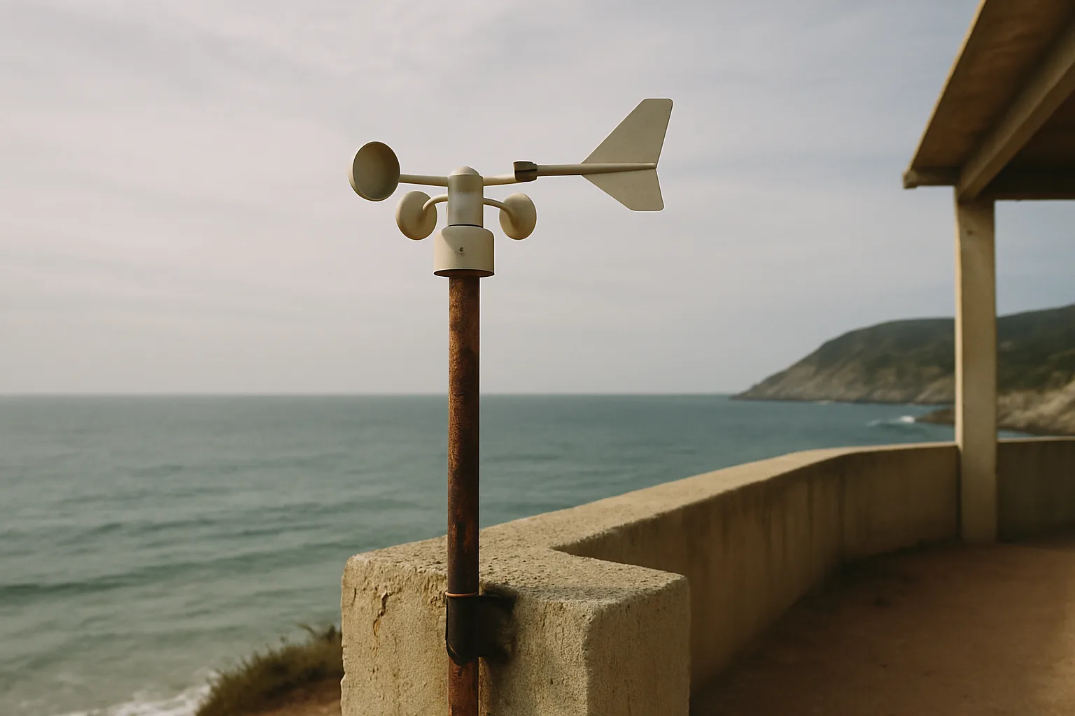
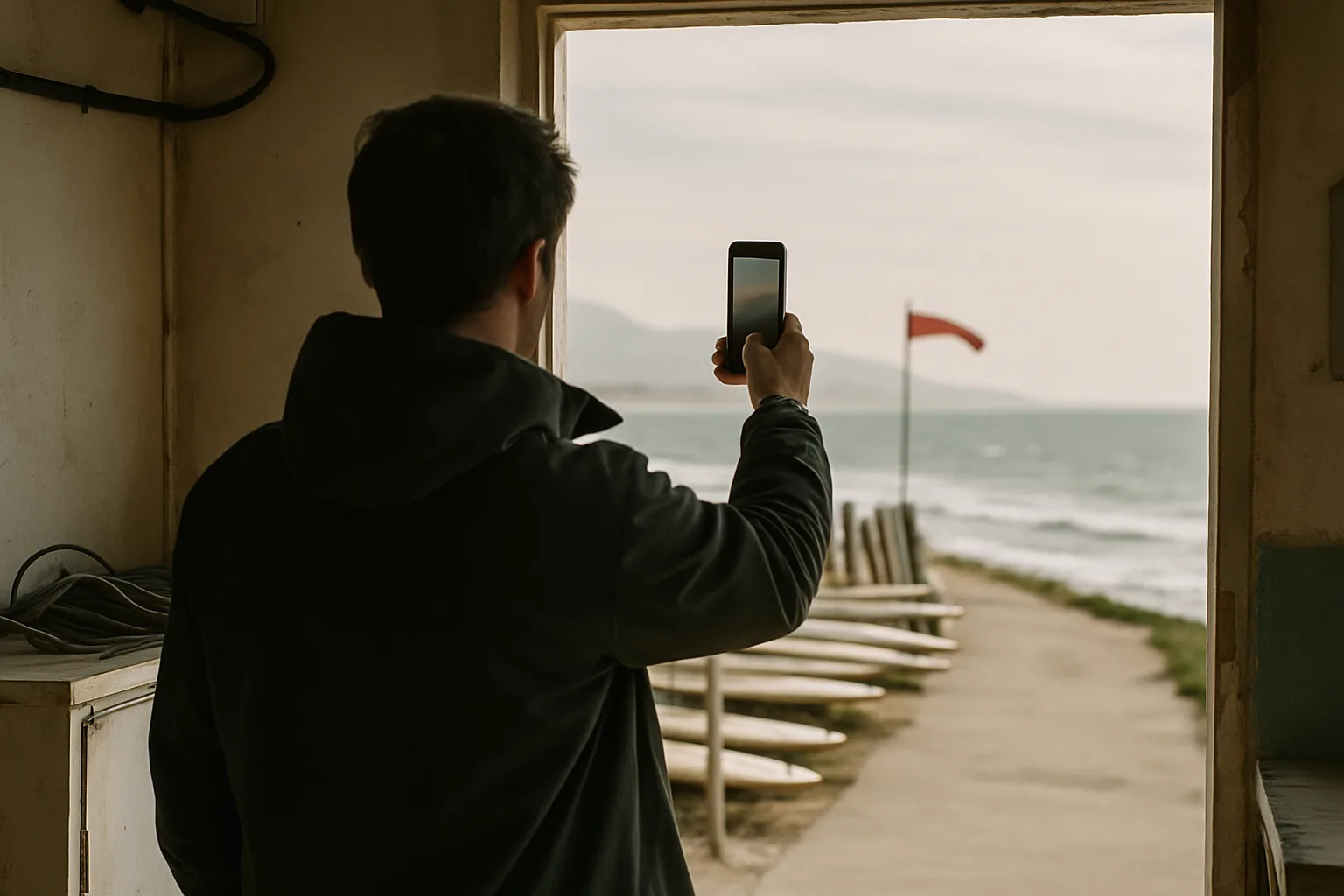
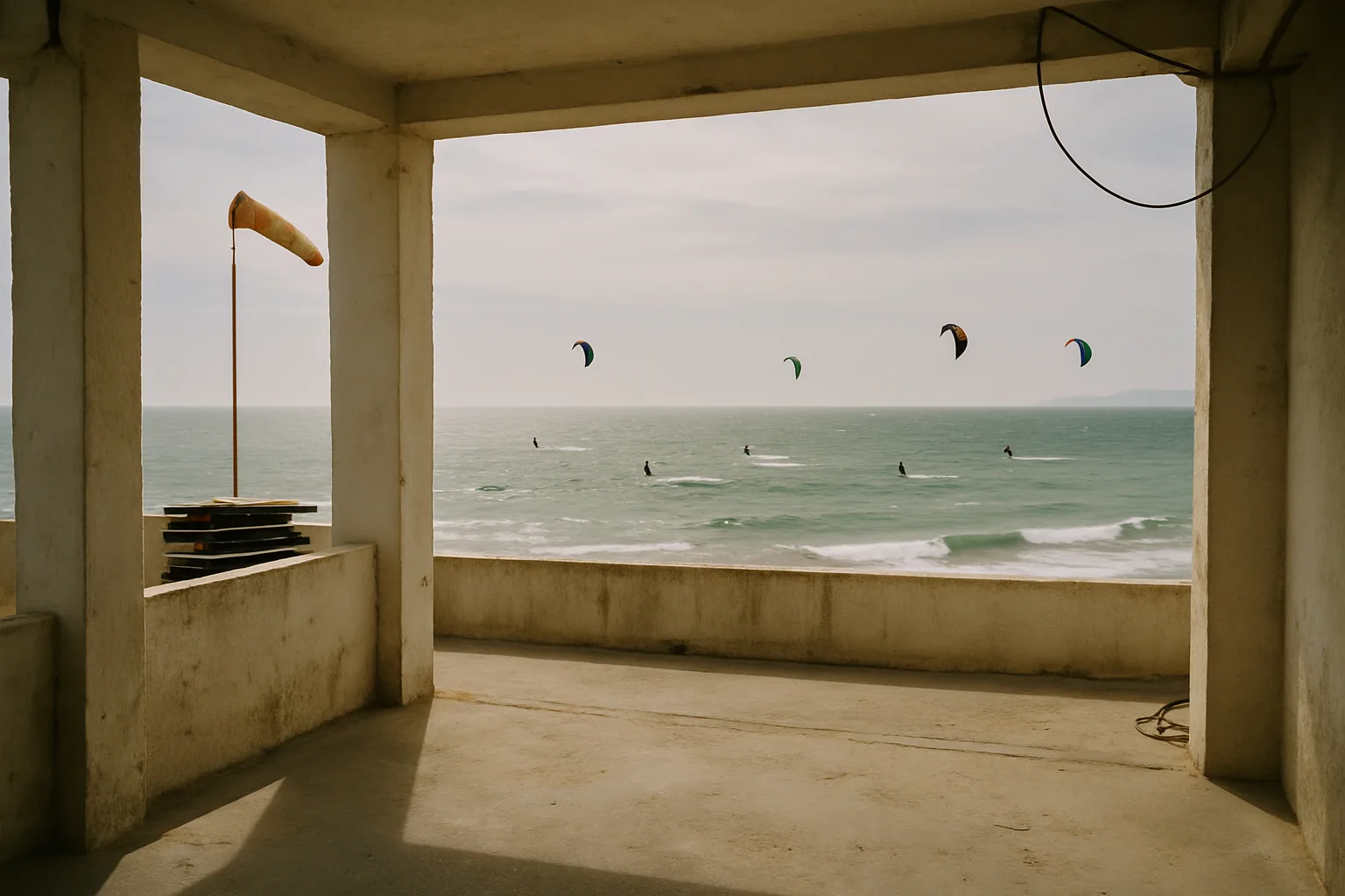
Average speed, gust spread and direction for every hour, read in one glance. The number you rig for and the number that will knock you over, side by side.
Forecasts are tied to the launch itself, because the wind at the beach bar is not the wind two headlands along. Coastal and inland spots across Spain.
Set the threshold and the directions that work at your spot. The push arrives when the forecast crosses them — not every time it is breezy somewhere.
Scrub the timeline and watch the pressure gradient move. Useful when you are deciding between two coasts rather than two beaches.
Your spots in the order you ride them, so the morning check is one swipe rather than five searches.
From the single rider checking a Saturday to a centre briefing twenty people a day.
The everyday check: is it on, and when.
For people who travel to the wind instead of waiting for it.
Shared forecasts your instructors and your front desk read the same way.
Forecast support built around one venue and one date window.
Tell us how you ride, teach or race and we will come back with the scope and the numbers in writing.
I stopped driving an hour and a half to find it offshore. The direction read for my spot is the part that changed things.
I teach six days a week and the alert rules mean I know the afternoon before whether to book beginners or not.
Clean screen, no clutter. I look at gusts and direction and close it again. That is all I want at seven in the morning.
Flying inland, the map timeline is what I use most — I can see the gradient arriving rather than guessing from a single number.
Coastal spots the length of mainland Spain plus the islands, and the inland launches that riders and pilots actually use. If yours is missing, send it to us through the form — adding spots is a normal part of the work.
High-resolution atmospheric models, interpreted for coastal terrain rather than shown raw. Headlands, thermal effects and sea breeze timing change what a grid point means at the water's edge, and that is the part we work on.
No. Windsurfers, sailors and paragliders use the same wind data with different thresholds — you set the speeds and directions that matter at your spot, and the alerts follow those.
A forecast is a probability, not a promise. We show gust spread alongside average speed so you can see when a day is confident and when it is a coin toss, and we would rather tell you that than round it off.
Yes — shared spot sets, team alerts and venue briefings are what the centre and event work is. Describe the venue and the dates in the form and we will scope it.
Rider, school, club or event — send us the detail and we will come back with what we can forecast for you.
We have your message and someone will get in touch shortly by email.
We use cookies for analytics and advertising measurement, but only after you give your consent. Learn More